
Dismal Swamp Canal OPEN to navigation & locks operating on normal schedule as of 4/8/24!
Please review Dismal Swamp Canal boating Tips & FAQ below.
Dismal Swamp Canal – – Deep Creek Bridge Replacement Project
Boating Information
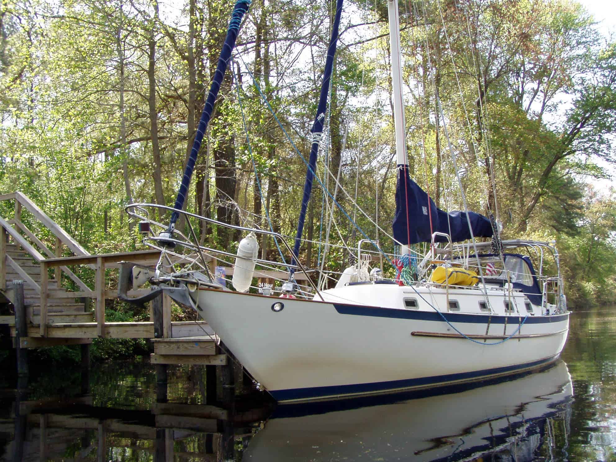
The Dismal Swamp Canal is an alternate route along the Atlantic Intracoastal Waterway (AIWW), connecting the Chesapeake Bay with the Albemarle Sound. The AIWW provides pleasure boats with a protected inland channel between Norfolk, Virginia, all the way to Miami, Florida. The Canal is on the National Register of Historic Places as a Historic Landmark, noted as a National Historic Civil Engineering Landmark, and has received the National Underground Railroad Network to Freedom Designation. The Welcome Center is home to a 150’ face dock that provides a rest stop to nearly 2,000 boaters yearly.
FAQ & Additional Information
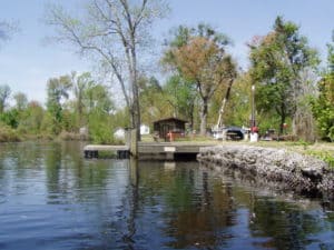
- South Mills Lock & Drawbridge | 252-771-5906 | 8:30 am • 11:00 am • 1:30 pm • 3:30 pm
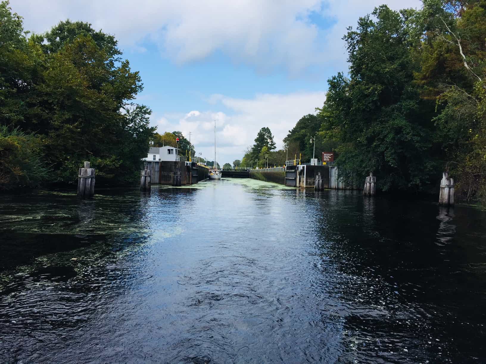
View of the South Mills Lock from a southbound vessel.
- Dismal Swamp State Park Bridge Schedule | The pedestrian bridge at the state park will open as your vessel approaches or by sounding your horn. The park can also be contacted via Radio Channel 13. The bridge is left in the open position when the park is closed.
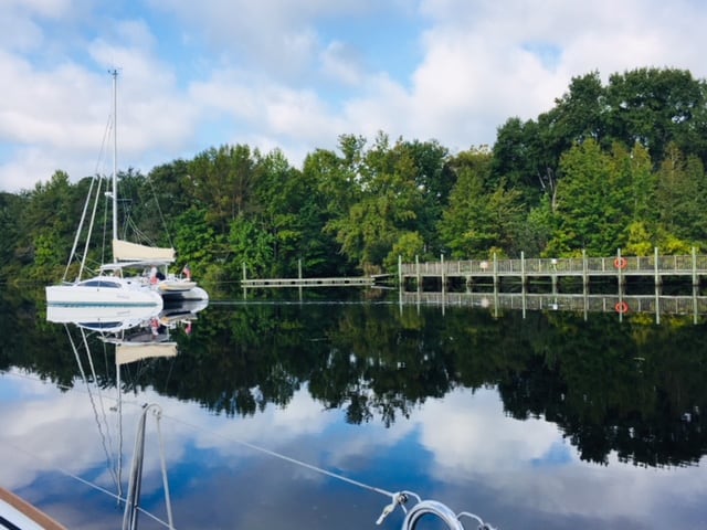
- Dismal Swamp Canal Welcome Center | Provides a 150′ face dock and allows tie-up on a first-come, first-served basis. Boats are allowed to stay overnight and restrooms are open 24 hrs a day.
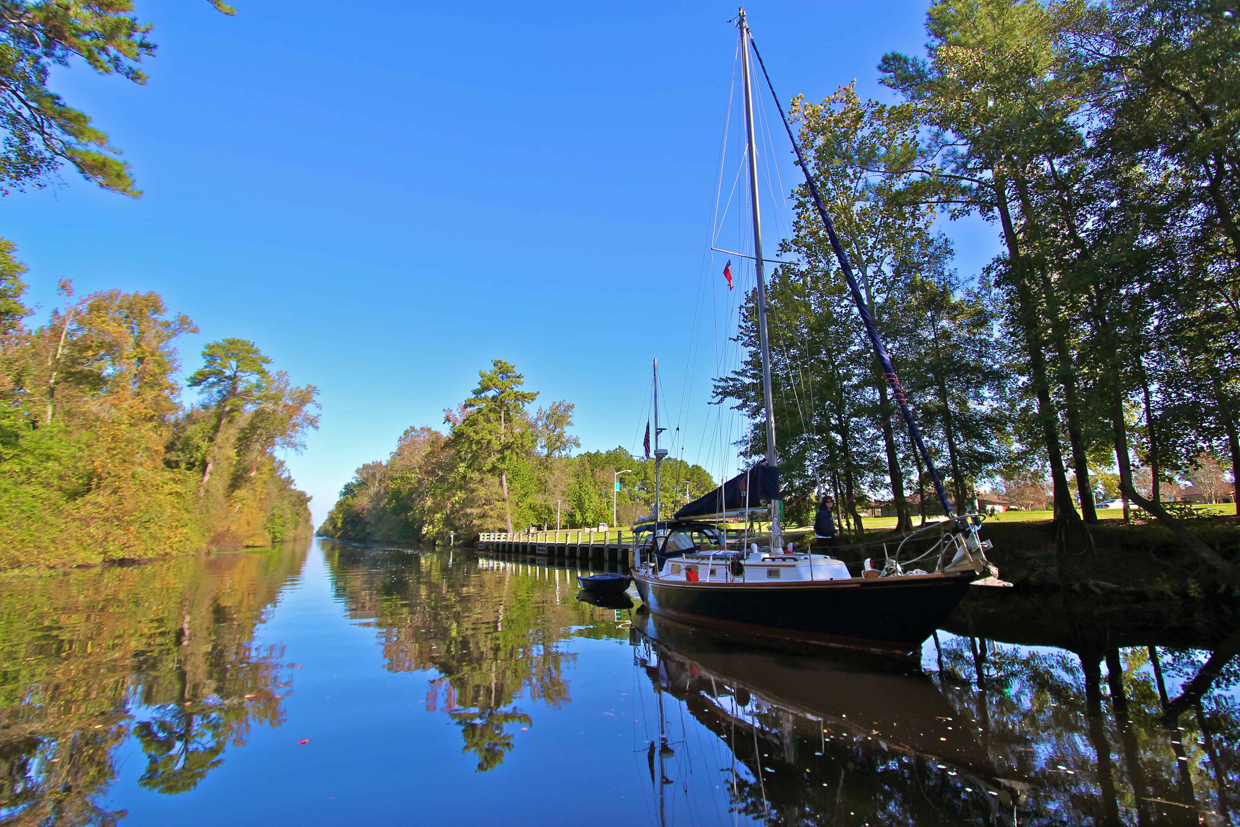
Southbound vessel departing the Dismal Swamp Welcome Center dock.
- Arbuckle’s Landing | USACE maintains this small face dock (1-2 boats) near the entrance of the Feeder Ditch for overnight tie ups.
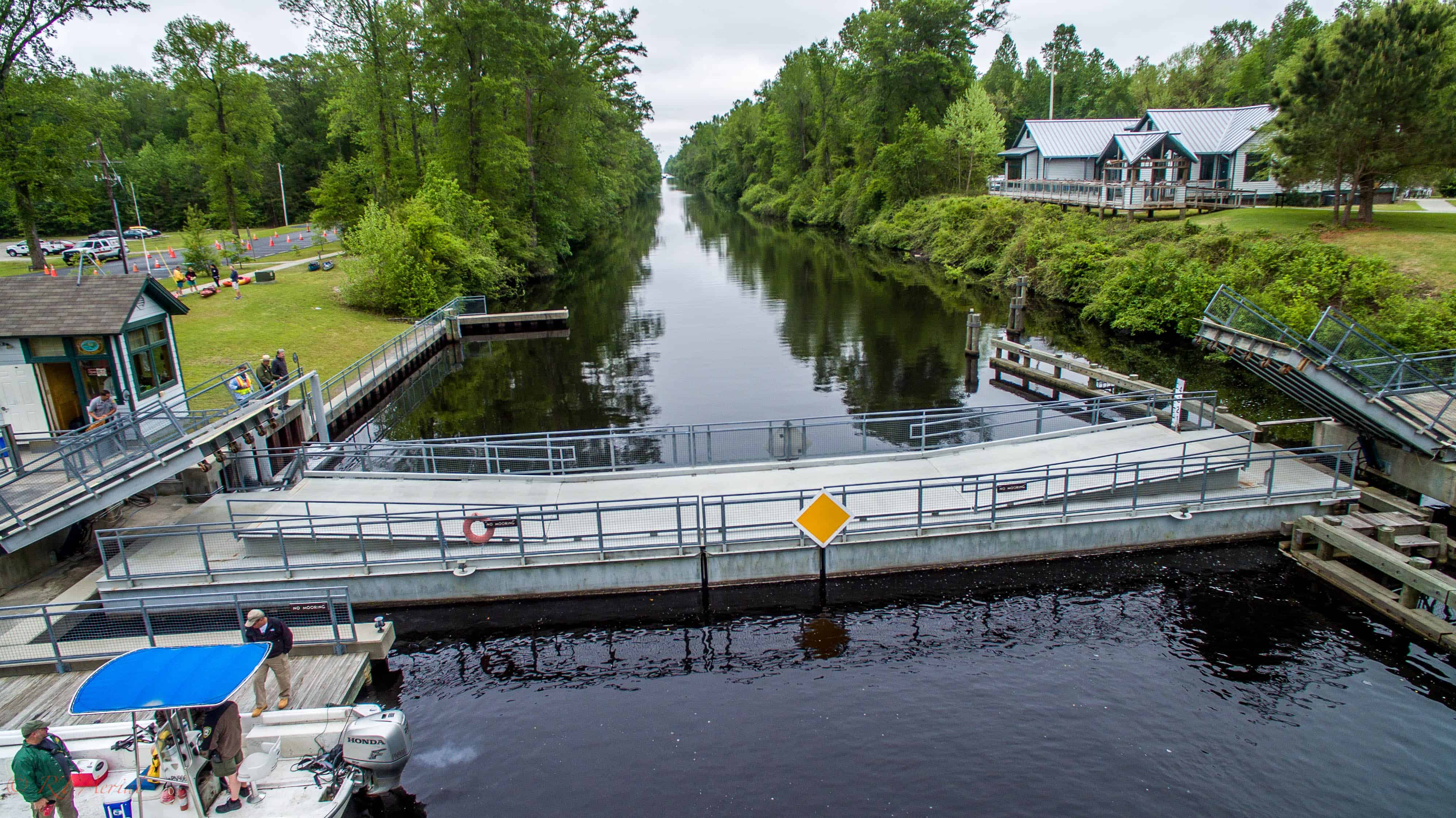
- Deep Creek Lock & Drawbridge | 757-487-0831 | 8:30 am • 11:00 am • 1:30 pm • 3:30 pm
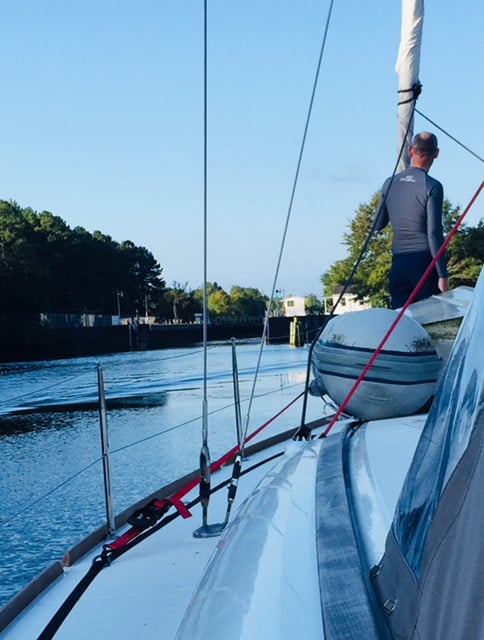
Southbound vessel approaching the Deep Creek Lock in Virginia.
Elizabeth Dock is located between the Deep Creek Lock & Drawbridge. This dock is maintained by the City of Chesapeake Parks, Recreation & Tourism and allows boats to stay overnight on a first come, first served basis.
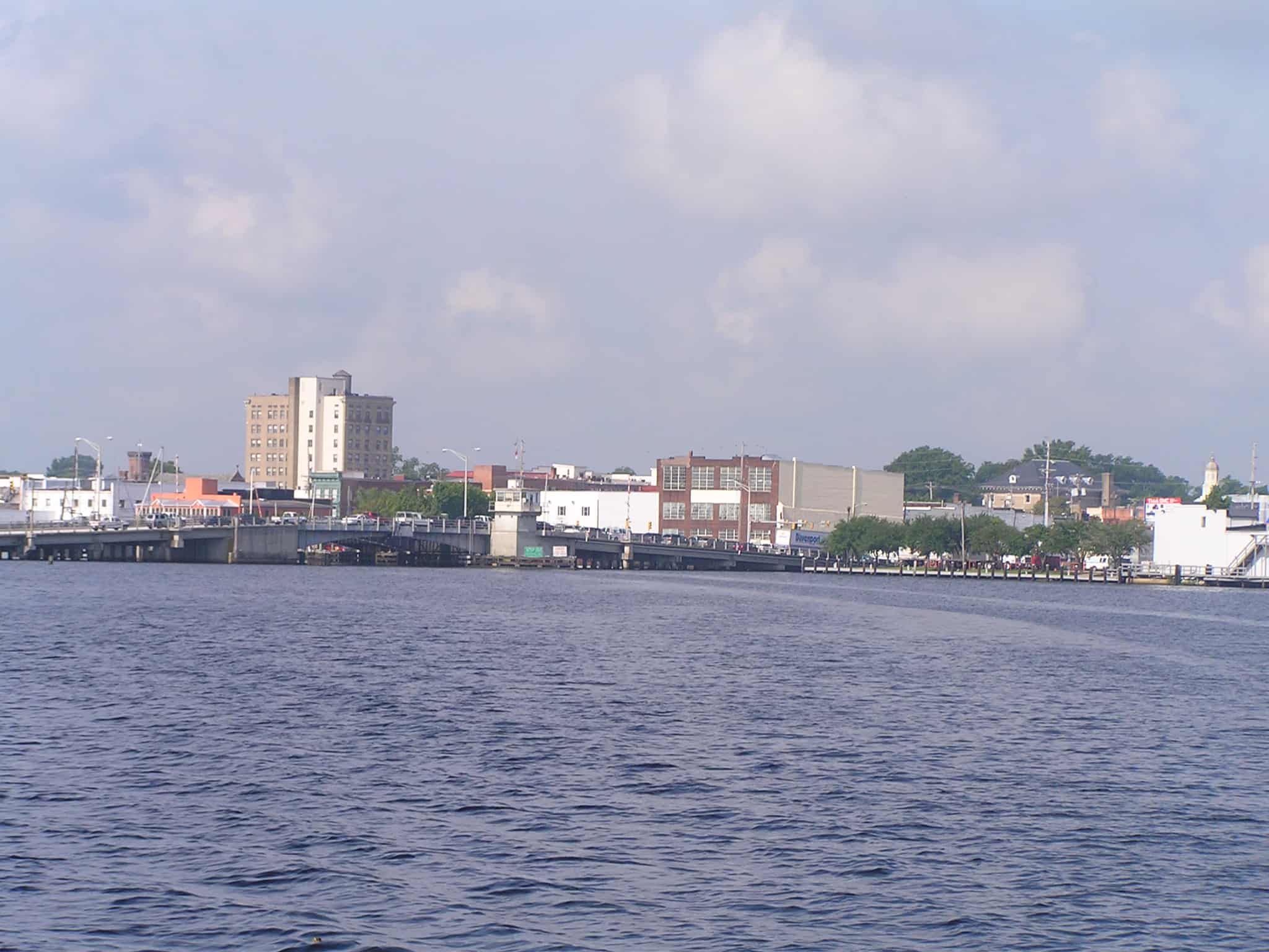
- Elizabeth City Bridge Schedule | 252-331-6337 | 7:30 am • 8:30 am • 4:30 pm • 5:30 pm
*Between 8:30 am and 4:30 pm, and after 5:30 pm this bridge opens on demand.
- 18 miles between Elizabeth City and South Mills
- 17 miles between Deep Creek Lock and Welcome Center
- 5 miles between Welcome Center and South Mills lock
- 22 miles between South Mills and Deep Creek
- 40.5 miles from Elizabeth City to Deep Creek
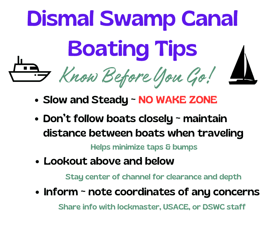
The canal is a no-wake zone
- 3 hours to reach the Welcome Center from Deep Creek
- 1 hour to reach South Mills
- Total transit time of the Canal is 4 hours
The canal has a controlled depth of 6 feet.
- Lamb’s Marina ~ Camden Causeway PH: 252-338-1957
- Hattie Creef Marina ~ Camden Causeway PH: 954-319-5459
The Dismal Swamp State Park offers canoe/ kayak rentals for your enjoyment of the canal in NC waters, with access/launch beside the State Park bridge. (Car-top vessels only). Call 252-771-6593 for availability and more information.
Lake Drummond is a beautiful 3,000 acre natural fresh water lake in Virginia in the heart of the Dismal Swamp. Lake Drummond Reservation is located in the heart of the Great Dismal Swamp National Wildlife Refuge and accessible from the Feeder Ditch approximately 7 miles north of the Welcome Center and 3 miles west from the Canal. This one acre site offers primitive camping, restrooms (seasonal non-potable water) and picnic shelters. This site is managed by the USACE.
Lake Drummond Reservation Information
The Feeder Ditch is approximately a quarter mile to the south of the Ballahack Road Boat Ramp in Chesapeake, VA. (Chesapeake Parks, Recreation and Tourism maintains and manages this boat ramp and parking lot). The distance from the Canal to the Reservation (campground and spillway) is approximately three miles, and another half mile to the entrance of Lake Drummond. Paddlers/small boats must portage across this small one acre site to pass the spillway.
To explore other paddle sites in Northeastern NC, the Albemarle Resource Conservation and Development Council offers paddle trail maps to assist with trails and access points. Visit Albemarle Regional Paddle Trails for additional trail maps and information.
Event Information: Paddle for the Border
Camden County’s Paddle Trails:
Click here to view North Carolina’s Boating Access Area-Guide: Access Areas Provide a Free Launch.
- Sawyer’s Creek Ramp: US Highway 343 North in Camden County
- Camden Point: US Highway 343 South in Camden County
- Lambs Marina: US Highway 158 in Camden County
- Dog Corner Park and Waterfront Park Ramps: Elizabeth City Waterfront – There are height restrictions at Dog Corner Park
- The Sawmill Park Ramp: Weeksville
To view the multiple page and latest version of the NC Coastal Boating Guide Map click here.
To view the large map version of the NC Coastal Boating Guide Map click here.
Visit NC Wildlife Resources Commission tor additional information.
Fishing is allowed in the Canal, but not on the Welcome Center/Rest Area property managed by NC DOT. Seek permission for sites located in the Dismal Swamp State Park before casting lines. Fishing along the Canal on the Dismal Swamp Canal Trail (in Camden) where public access is available is permissible. A current NC fishing license is required. The Canal is a federal waterway with boating traffic and managed by the USACE.
- US Coast Guard Navigation Center
The North Carolina Albemarle Loop (AL) offers the boating public with an exciting opportunity to cruise and explore the protected waters of the historic Albemarle Sound.
- Albemarle Guided Fishing Charters (252)333-6524
- Native Girl Kayaking (252)404-2266